Bachelor of Science in Cartography and Remote Sensing
Gadjah Mada University (Department of Geographic Information Science)
Master of Science in Cartography
Cartography MSc, Erasmus Mundus Joint Master Degree Program (TU Munich, TU Wien, TU Dresden, ITC - University of Twente)


I am Zulfa Nur'aini 'Afifah, now a researcher at the Chair of Applied Geoinformatics, Institute of Geography, Faculty of Applied Computer Science, University of Augsburg. In the near future, I will be also doing my doctoral research with Prof. Dr. Jukka M Krisp. My master's program is Erasmus Mundus Joint Master Degree Program which is hosted by Technische Universität München. (partner universities: Technische Universität Wien, Technische Universität Dresden, and ITC) I hold a degree of BSc Cartography and Remote Sensing from Gadjah Mada University, Indonesia.
Becoming an academia with this interest is challenging yet exciting for me.
Cartography and GIScience have always been my main interests!
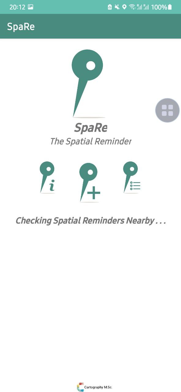
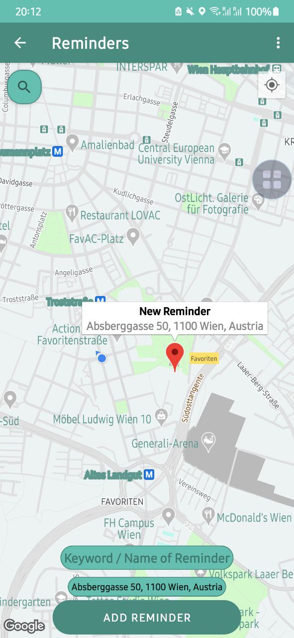
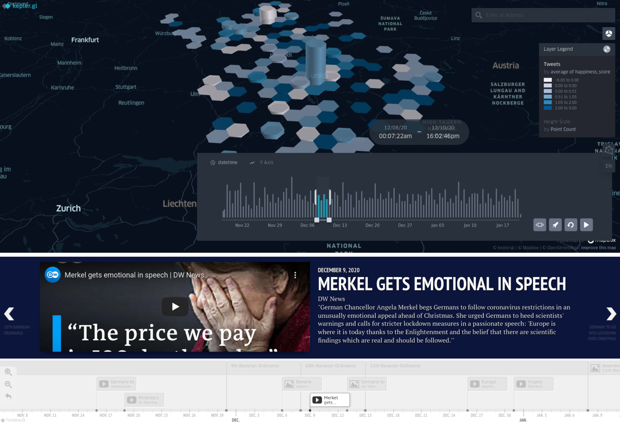
I found that the most exciting thing about cartography is the visualisation of geospatial data
and the method of obtaining feedback from map users.
For my doctoral work, I am going to conduct the research about uncertainties visualisation in noise modelling. This research will also invistigate the uncertainties' implications in decision-making.
See my previous publications in my CV below (last updated: September 2024) 😇✨
Doctoral Researcher has responsibility of doctoral research, teaching, and supervising bachelor's thesis
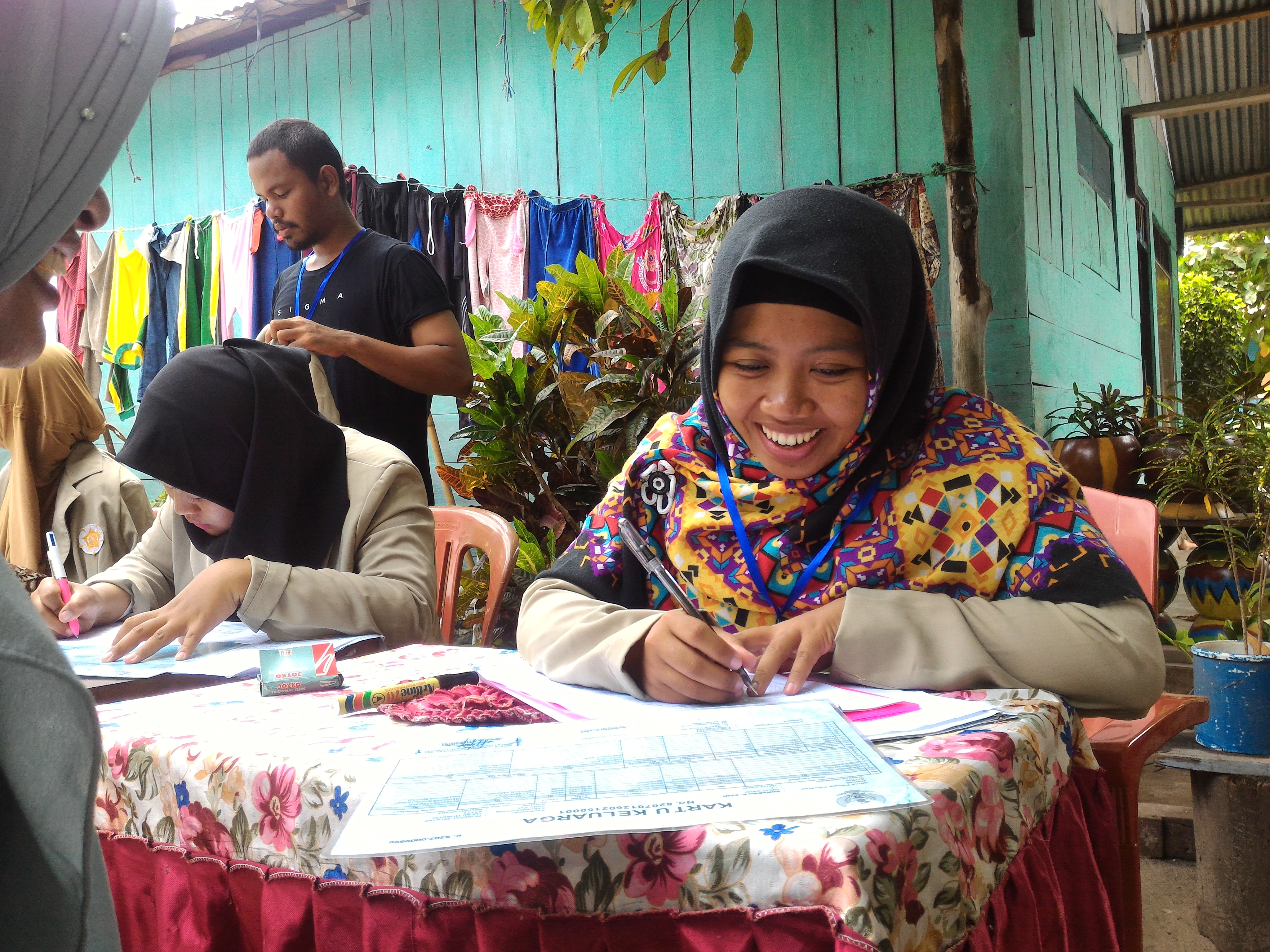
GIS Analyst took responsibility for making boundaries of land cover & land use and mapping the land value zone
Assistant for Cartographic Syntheses Model, and Management of Surveying and Mapping exercises. I was in charge of assisting students for those exercise, grading students' analysis and methods in the laboratory, and reporting the results of laboratory activities to the lecturer of the related course
Assistant for Remote Sensing for Urban Studies, Fundamental Remote Sensing, and Non-Photographic Remote Sensing exercises. I was in charge of assisting students for those exercise, grading students' analysis and methods in the laboratory, and reporting the results of laboratory activities to the lecturer of the related course
Assistant for Advance Geographic Information Science, Spatial Data Mining, and Spatial Programming exercises. I was in charge of assisting students for those exercise, grading students' analysis and methods in the laboratory, and reporting the results of laboratory activities to the lecturer of the related course

Advances in Cartography and GIScience of the International Cartographic Association (ICA) - Paper is published and presented in ICC2025, Vancouver, Canada on Aug 17, 2025 by Merve Keskin
AGIT2025, Salzburg, Austria - Poster is presented on July 1, 2025
International Cartographic Association (ICA) Abstract Publication - Abstract is published and presented on Sep 2, 2024
Geoinformatics Research Days 2024, Otaniemi, Finland - Abstract is presented on May 21, 2024
Proceedings of the 18th International Conference on Location Based Services - Abstract is published and presented in LBS 2023 on 20-22 November 2023
DOI: 10.34726/5728
International Cartographic Association (ICA) Abstract Publication - Abstract is published and presented on Aug 11, 2023
International Cartographic Association (ICA) Abstract Publication - Abstract is published and presented on Sep 19, 2022
DOI: 10.5194/ica-abs-5-16-2022
IEEE - Paper is published and presented on Aug 14, 2020
DOI: 10.1109/ICST47872.2019.9166298
Forum Geografi - Paper is published on Dec 27, 2019
DOI: 10.23917/forgeo.v33i2.8876
Proceedings of SPIE (The International Society for Optical Engineering) - Paper is published and presented on Dec 24, 2019
DOI: 10.1117/12.2541982
Proceedings of SPIE (The International Society for Optical Engineering) - Paper is published and presented on Nov 21, 2019
DOI: 10.1117/12.2546072
Proceedings of SPIE (The International Society for Optical Engineering) - Paper is published and presented on Nov 21, 2019
DOI: 10.1117/12.2547320
Proceedings of SPIE (The International Society for Optical Engineering) - Paper is published and presented on Nov 21, 2019
DOI: 10.1117/12.2546121
International Archives of the Photogrammetry, Remote Sensing and Spatial Information Sciences (ISPRS Archives) - Paper is published and presented on Oct 1, 2019
DOI: 10.5194/isprs-archives-XLII-4-W16-55-2019
IOP Conference Series (Earth and Environmental Science) - Paper is published and presented on Sep 20, 2019
DOI: 10.1088/1755-1315/500/1/012046
Proceedings of the ICA (International Cartographic Association) - Paper is published on Jul 10, 2019
This scholarship is provided by the International Cartographic Association for International Cartographic Conference 2023 (ICC2023) in Cape Town, South Africa. ICC2023 is the biggest Cartographic Conference which was held by International Cartographic Association (ICA) on 13-18 August 2023 at the CTICC, Cape Town, South Africa.
Event: ICC2023 at the CTICC, Cape Town, South Africa
Honoured as Presenter and First Author
for publication entitled “Diet Map: Participatory Mapping Application for Specific Diets”
This scholarship is provided by the International Cartographic Association for EuroCarto 2022 in Vienna, Austria. EuroCarto 2022 is European Cartographic Conference which was held on 19-21 September 2022 at TU Wien, Austria.
Event: EuroCarto 2022 at TU Wien, Austria
Honoured as Presenter and First Author
for publication entitled “THEMPE: THEmatic Mapping Practice and Explanation: an Open Educational Resource for Teaching Thematic Mapping”
This scholarship is co-funded by the Erasmus+ Programme of the European Union, which allows me to study at 4 universities as a master's student. For the first semester, I studied at TUM in Germany. Then I have to move to study for the 2nd semester at TU Vienna in Austria. After that, for the 3rd semester at TU Dresden in Germany. During the first and third semesters, online modules from the University of Twente are integrated into the curriculum. In the 4th semester, students prepare their Master's thesis at one of the four participating universities.
Event: 6th International Symposium on LAPAN-IPB Satellite, Indonesia
Honoured as Presenter and Co-author
(First Author: Dr. Sudaryatno, M.Si) for publication entitled
"Determination of evacuation routes based on spatial characteristic and least cost path
for landslide in Bruno, Purworejo, Central Java"
Event: 6th International Conference on Geomatics and Geospatial Technology, Malaysia
Honoured as Presenter and First Author
for publication entitled “Effectiveness of Classification Method and Color Symbol Scheme on
Choropleth Map of Population Density in Special Region of Yogyakarta”
Event: 6th Geoinformation Science Symposium, Indonesia
Honoured as Presenter and First Author
for publication "Age group influence for effectiveness study of color symbol scheme
on choropleth map of population density in special region of Yogyakarta"
One year scholarship provided by Gadjah Mada University for living expenses of students who have good academic qualifications in order to improve their academic performance.
Event: GeoInnovation Bootcamp by Geospatial Information Agency (Badan Informasi Geospasial Indonesia)
Our project entitled "PARKING - Aplikasi Sistem Informasi Manajemen Parkir Berbasis Geospasial untuk Mendukung Terwujudnya Smart-City Lokasi Parkir Terdekat"
One year scholarship provided by Gadjah Mada University for living expenses of students who have good academic qualifications in order to improve their academic performance.